Valleys, chestnuts and volcanoes
{
"id": "FR07011",
"insee": "07011",
"nom": "Vallées-d'Antraigues-Asperjoc",
"code_postal": "07600",
"pays": "FR"
}
3 Place de la Résistance
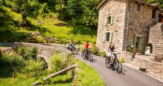
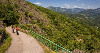
07600 Vallées-d'Antraigues-AsperjocShort but hilly, this itinerary links villages and sites strongly marked by volcanism and chestnut cultivation. Two panoramic round-trip escapades invite you to extend the adventure to the perched villages of Thieure and Genestelle.
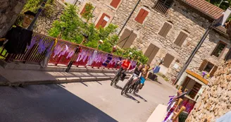
→ From the village square (Place de la Résistance): Walk past the Maison Jean Ferrat and down the street (Montée du Portail) to the crossroads.
Keep to the right and pass the grocery store to follow the road in front of you down to the Dupont bridge.
→ Pont de Dupont: the road climbs steadily towards Genestelle
→ Col de Genestelle (648m):
Left towards Genestelle for a short round trip to the village (500m outward journey) and back to the Col.
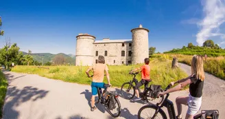
To the right, continue towards Château de Craux
→ Château de Craux: Follow the road downhill [be careful, the gradient reaches 10% in some areas] and pass through the hamlets Rochegude, Valgironne as far as Pont Neuf, which spans La Volane.
→ Pont Neuf: Turn left onto the departmental road - drive for around 70m, then follow the small road that climbs to the right with several switchbacks to Grange Sagnard.
→ Grange Sagnard:
Left towards Thieure for a return trip to the hamlet (outward journey: 3.5km).
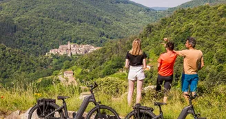
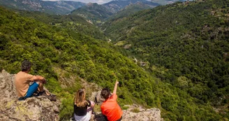
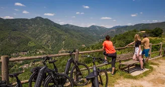
The road passes through the hamlets of Le Fau, La Combe, La Brugère and continues up to the shoulder of Vernadel. Stop to admire the panorama of the Volane valley, the Craux volcano and the Ardèche mountains in the distance. Continue along the flat road to the crossroads at La Croix du Coulet. Turn left towards the hamlet, where you'll see the first houses. Pass the cemetery and go straight ahead to a square at the end of which is the hamlet's bread oven and a panoramic view over the Besorgues valley.
Then take the same route back to the Grange Sagnard crossroads and follow the signs back to Antraigues.
Opposite you, follow the road through the hamlet of Cupiat and then down through the forest to the hamlet of Le Serret.
→ Le Serret: The road descends to an intersection with route départementale 254. Turn right to reach Le Pont de l'Huile Cross the bridge to the stop sign at the intersection with route départementale 578.
→ Le Pont de l'Huile: Cross the RD578 to take the road almost in front of you up to the village of Antraigues (Montée de la Croisette) - You can stop on the way up for a view of the Espissard waterfall with interpretation panel - the road continues up to the village square.
Special difficulties
Tronçon de 300m avec descente à 10% après Valgironne.
Your contact
Agence Développement Touristique de l'ArdèchePôle Bésignoles, 6 Rte des Mines, 07000 Privas
07000 Privas
Find this route on the Loopi mobile app
Scan the QR code, save it as a favorite, or start the guidance, just enjoy!
Scan the QR code, save it as a favorite, or start the guidance, just enjoy!
Route development
99% shared roads
Road surfaces
11.9 km on asphalt or tarred road
15.9 km on unknown surface in the Open Street Map database
This route is provided by: Agence de Développement Touristique de l'Ardèche
Be cautious and prepared during your outings. Loopi and the author of this sheet cannot be held responsible for any problems that occur on this route.

