The Ardèche balconies

Boucieu-le-Roi
Electrically assisted bicycleAverage116 km4 h Loop
23569251.jpg
23569244.jpg
23569245.jpg
23569247.jpg
23569248.jpg
23569249.jpg
23569250.jpg
23569246.jpg
23569252.jpg
23569253.jpg
23569254.jpg
Rue de la Mairie
07270 Boucieu-le-Roi
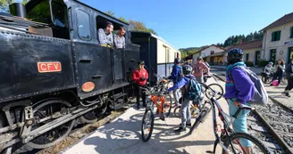
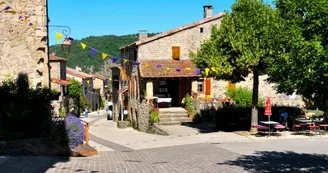
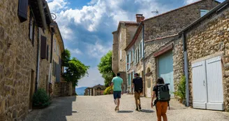
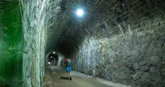
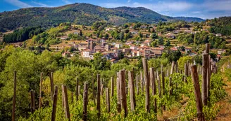
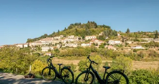
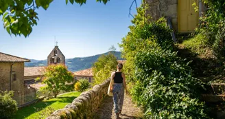
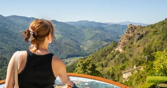
From Boucieu le Roi, follow “Sur les Routes de l'Ardéchoise” to Chalencon. Take the balcony descent over the Eyrieux valley to join the Dolce Via, a must! Stop off at Pont de Chervil. From Le Cheylard, with rested legs, tackle the demanding Ardèche terrain towards Désaignes, then Lamastre, to end up comfortably seated aboard the “®Train de l'Ardèche” for a return trip to the Boucieu le Roi station.

Your contact

Agence Développement Touristique de l'Ardèche
Pôle Bésignoles, 6 Rte des Mines, 07000 Privas
07000 Privas
Find this route on the Loopi mobile app
Scan the QR code, save it as a favorite, or start the guidance, just enjoy!
google-playapp-store
qrcode

On the itinerary

Chambre de l'Âne Têtu

Chambre de l'Âne Têtu

Désaignes
Bed and breakfast
Chambre d'hôtes l'Art des Chemins

Chambre d'hôtes l'Art des Chemins

Belsentes
Bed and breakfast
Retourtour Campsite

Retourtour Campsite

Lamastre
Campsites
Bookable
Désaignes : a village with outstanding character

Désaignes : a village with outstanding character

Désaignes
Villages with character
Hôtel des Voyageurs

Hôtel des Voyageurs

Le Cheylard
Hotels
L'Art des Chemins

L'Art des Chemins

Belsentes
Stopover gites
Les Blés d'Or - Gîte de groupe

Les Blés d'Or - Gîte de groupe

Chalencon
Stopover gites
Chalencon : a village with oustanding character

Chalencon : a village with oustanding character

Chalencon
Villages with character
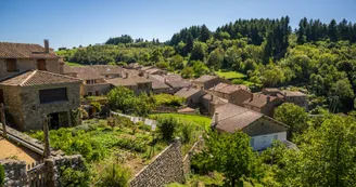
Boucieu-le-Roi : a village with outstanding character

Boucieu-le-Roi : a village with outstanding character

Boucieu-le-Roi
Villages with character
Negative elevation (descent): 2027 m
Positive elevation (ascent): 2020 m

Route development

73% shared roads
26% cycle paths
19% cycle routes
19% greenways

Road surfaces

50.4 km on asphalt or tarred road
85.3 km on unknown surface in the Open Street Map database
14.0 km on rolling path (compacted sand, gravel, cobblestones)
2.98 km on trail and off-road track

Agence Développement Touristique de l'Ardèche