Wide circuit of Annonay and its surroundings
Saint-Clair
Place de l'Auberge
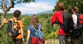
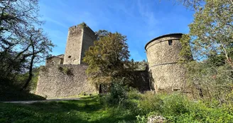
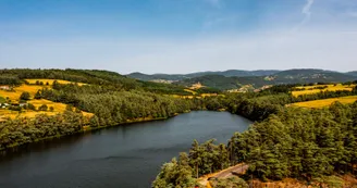
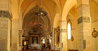
07430 Saint-ClairIn the Deume valley, the most densely populated, you'll discover the architectural features and monuments (castles, the medieval village of Boulieu-lès-Annonay) that contribute to the region's richness and bear witness to its history. On the other side, you'll enter the Vocance valley, a mountainous region where coniferous forests alternate with chestnut groves, meadows with rugged rocky areas. Here, life has long been organized around a sylvo-pastoral economy. Along the way, you'll enjoy the freshness of the undergrowth, the pure, high-altitude air from the Chirol cross to the Roche des Vents, and the charm of the many streams that gush out of the mountains to die off in the Cance.
Leaving these mountainous reliefs behind, the plateau you'll be crossing stands in stark contrast. Its mild climate, flat relief and predominantly vine-growing and fruit-growing agrarian landscapes will remind you that you're at the gateway to the Rhône Valley.
Welcome to the Haut-Vivarais!
Your contact
Agence Développement Touristique de l'ArdèchePôle Bésignoles, 6 Rte des Mines, 07000 Privas
07000 Privas
Find this route on the Loopi mobile app
Scan the QR code, save it as a favorite, or start the guidance, just enjoy!
Scan the QR code, save it as a favorite, or start the guidance, just enjoy!
On the itinerary
This route is provided by: Agence de Développement Touristique de l'Ardèche
Be cautious and prepared during your outings. Loopi and the author of this sheet cannot be held responsible for any problems that occur on this route.


