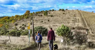
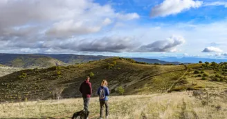
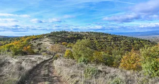
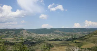
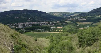
Hiking panorama
Saint-Jean-le-Centenier
2 Place de l'Église
07580 Saint-Jean-le-CentenierPage number 8 of the "Monts de Berg & Massif du Coiron" hiking guidebook
Free download on the website of our tourism office
Or sold in paper version with its map for 7€
Car park at the church. Take the Alba direction, going down towards the N102 to Charnier. Climb up again to the junction at
FONT NEGRE
DIRECTION: ALBA
Passing through “Serre Leroux” (altitude 400m), continue towards Alba by going down beside the small pond of Font Nègre
Steady climb through the marlstones, then the Malavas plain up to
BOURBOULET
DIRECTION: ALBA
You will walk across a prairie invaded with a multitude of blue flowers in the spring up to
LA CROIX DE JULIAU
DIRECTION: SUMMIT OF LA CROIX JULIAU
Allow one hour out and back from Bourboulet to reach the summit of La Croix de Juliau (altitude 553m).
Tradition has it that this toponym owes its origin to the passing of Julius Caesar. The etymology of Juliau does indeed point to the name or forename Julius, but really has no connection with Caesar!
Then take the St Jean le Centenier direction to reach
ARGENCE
DIRECTION: ST JEAN LE CENTENIER
by crossing the hamlet of Lablachère. Continue, passing through
THEOULE
The term théoule, from the Occitan teule : tile, means the place where tiles and pottery were fired.
Return to the village via the path in the direction of St Jean le Centenier.
Special difficulties
Niveau pédestre facile
VTT moyen
Your contact
Agence Développement Touristique de l'ArdèchePôle Bésignoles, 6 Rte des Mines, 07000 Privas
07000 Privas
Find this route on the Loopi mobile app
Scan the QR code, save it as a favorite, or start the guidance, just enjoy!
Scan the QR code, save it as a favorite, or start the guidance, just enjoy!
On the itinerary
This route is provided by: Office de Tourisme Berg et Coiron
Be cautious and prepared during your outings. Loopi and the author of this sheet cannot be held responsible for any problems that occur on this route.

