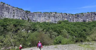
HIking Trail "The Gens Cirque"
Ruoms
1 Place du Général de Gaulle
07120 RuomsWhen you're opposite the Ruoms tourist office, turn right onto rue Millerand (towards Résidence le Méridien) for 300 m.
At the hiking signpost (1), turn left onto the Via Ardèche greenway for pedestrians and cyclists, direction "Pradons".
At the "Le Champ du Gras" signpost (2), follow "Pradons 2.1 km" and stay on the greenway for another 600 m.
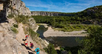
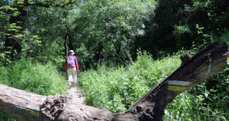
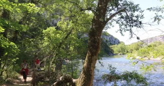
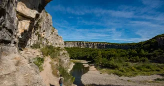
At the "Les petites Pièces" post (3), follow "Cirque de Gens 4.6 km". Leave the voie verte to the left and take a small asphalt road to the hamlet of Mas du Grazel, where the road becomes a footpath leading down through the trees to the river Ardèche. The path takes you over large rocky slabs along the river. Around 300 m further on, a small sandy beach is well worth the detour (round trip 100 m to the right). The hiking trail then climbs up to the middle of the cliff, overhanging the river. You'll need to be very careful here, especially with children!
At the bend, the path drops back down to the river. Follow the river over rocky slabs (impassable when the river is in flood). Vegetation gradually replaces the rocks.
Where the Ligne meets the Ardèche, the path rises again and passes close to the Beaume Grenas cave. If you have a flashlight, take a look - it's well worth the detour! Then continue upwards along the wall-lined path to the Les Carrières junction.
At the "Les Carrières" post (4), follow the signs for "Ruoms 2.4 km". The path widens at the old quarry buildings. You then come to a tarmac road. At the next junctions, continue on the main road until you reach the greenway.
At the "Le Champ Du Gras" post (2), follow "Ruoms 1.2 km" to the right on the "Via Ardèche" greenway.
At "Le Champ du Four" (1), follow "Info Rando 0.2 km" to the right. Rue Président Millerand takes you back to the starting point.
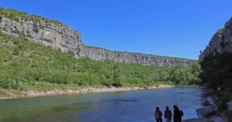
Vincent's tip: in fine weather, take your swimsuit and enjoy the small sandy beach at the heart of the site, facing the cliffs. It's a pleasant and refreshing place to swim. For heritage lovers, visit the old part of Ruoms with its beautiful church. 6 towers mark the site of the old ramparts.
Special difficulties
En période de crue, le circuit est impraticable car il longe le lit de la rivière Ardèche.
Cette randonnée comporte un passage en hauteur sur falaises, une descente raide et glissante et des passages escarpés dans les rochers et les galets. Elle est déconseillée avec de jeunes enfants et aux personnes qui manquent d’aisance.
Your contact
Agence Développement Touristique de l'ArdèchePôle Bésignoles, 6 Rte des Mines, 07000 Privas
07000 Privas
Download
Find this route on the Loopi mobile app
Scan the QR code, save it as a favorite, or start the guidance, just enjoy!
Scan the QR code, save it as a favorite, or start the guidance, just enjoy!
This route is provided by: Gorges de l'Ardèche - Pont d'Arc
Be cautious and prepared during your outings. Loopi and the author of this sheet cannot be held responsible for any problems that occur on this route.

