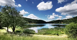
Itinéraire de randonnée "Château de Montlaur" - Coucouron
Coucouron
77 Avenue Joseph Bonhomme
07470 Coucouron1. Go down to the lake following the tarmac road, marked in red and yellow.
2. Follow the water on the left and go up on the left in the wood to Olpillère.
3. At the intersection "Croix du Bouchet" go straight on, then cross the road and go to the hamlet of Montlaur : a rock topped by a cross dominates the houses.
4. At the crossroads, at the exit of Montlaur, follow the path due north which leads to Coucouron by cutting through the fields, yellow and white markings.
Your contact
Agence Développement Touristique de l'ArdèchePôle Bésignoles, 6 Rte des Mines, 07000 Privas
07000 Privas
Find this route on the Loopi mobile app
Scan the QR code, save it as a favorite, or start the guidance, just enjoy!
Scan the QR code, save it as a favorite, or start the guidance, just enjoy!
Road surfaces
1.86 km on asphalt or tarred road
5.02 km on unknown surface in the Open Street Map database
This route is provided by: Office de Tourisme Montagne d'Ardèche
Be cautious and prepared during your outings. Loopi and the author of this sheet cannot be held responsible for any problems that occur on this route.

