The Blue Trail
Châteaubourg > Guilherand-Granges
8 Rue du Rhône
07130 Châteaubourg760 Boulevard Charles de Gaulle
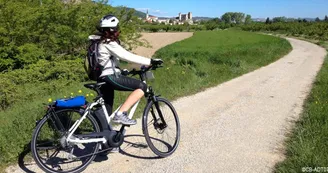
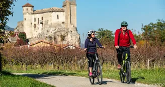
07500 Guilherand-GrangesThis 12km trail for walkers and cyclists runs alongside the Rhone between Guilherand-Granges and Châteaubourg.
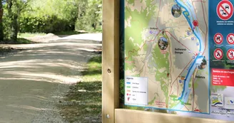
Heading towards Guilherand-Granges, users can join the trail just 100m from the ViaRhôna car park at Pont des Lônes, direction Soyons. However the north-bound junction with ViaRhôna for the 2km between Châteaubourg and Glun, is still to be completed. Half the trail has been resurfaced, the rest covered with tarmac.
Most of the trail follows the river bank, passing through an unspoilt natural environment rich in fauna and flora, and car parks and picnic areas along the route provide easy access for everybody. At various points, the Blue Trail also links into 300km of walking trails that spread through the 13 communes that make up the Rhône Crussol area.
Find this route on the Loopi mobile app
Scan the QR code, save it as a favorite, or start the guidance, just enjoy!
Scan the QR code, save it as a favorite, or start the guidance, just enjoy!
On the itinerary
This route is provided by: Agence Développement Touristique de l'Ardèche
Be cautious and prepared during your outings. Loopi and the author of this sheet cannot be held responsible for any problems that occur on this route.


