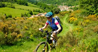
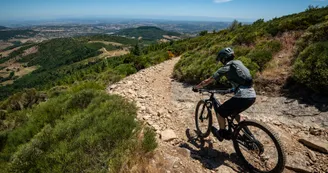
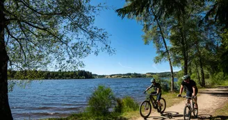
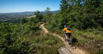
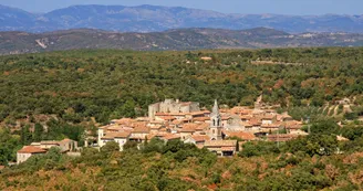
the Great Mountain Bike Trail
Annonay > Bourg-Saint-Andéol
Chemin Charles Gris
07100 Annonay1 Place du Champ de Mars
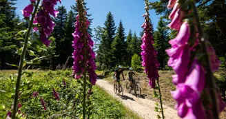
07700 Bourg-Saint-AndéolUp there, on the borders of the Ardèche and Haute-Loire regions, the foothills of the Massif Central will be your starting point for this adventure on the GTA VTT. Then it's on to the Ardèche mountains and their trails. Today, it's seen as a place of authenticity and freedom. Further south, people are happy to claim that they belong to the Cévennes Ardèche. And last but not least, you'll cycle through the southern Ardèche, the most highly-rated and coveted of the Ardèche regions, so full of treasures.
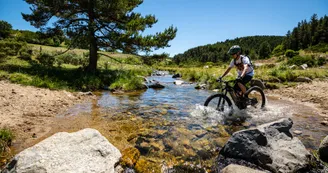
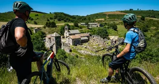
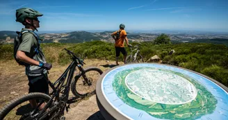
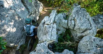
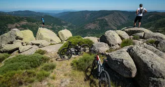
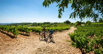
Crossing the Parc naturel régional des Monts d'Ardèche, you'll set off for the Monts Mézenc and Gerbier de Jonc, the Tanargue massif, the Païolive wood and the Ardèche Gorges. You'll end up in the vineyards and orchards of the hillsides before reaching the banks of the Rhône.
313km in 7 stages in the heart of the Ardèche on the GTA VTT
Stage 1: Annonay - Devesset: 58.3km
Stage 2: Devesset - Les Estables: 47.5km
Stage 3: Les Estables - Lanarce: 52.6km
Stage 4: Lanarce - Montselgues: 39.5km
Stage 5: Montselgues - Les Vans: 34.3km
Stage 6: Les Vans - Vallon Pont d'Arc: 34.8km
Stage 7: Vallon Pont d'Arc - Bourg-Saint-Andéol: 51.4km
Note that there is a second start from Tournon-sur-Rhône to Devesset, a 105km variant in two stages:
Stage 1 variant: Tournon-sur-Rhône - Saint-Félicien: 54.8km
Stage 2 variant: Saint-Félicien - Devesset: 50.1km
Signposting and layout of the GTA VTT
The Grande Traversée de l'Ardèche VTT is signposted in the North > South direction.
Signposting: FFC mountain bike signposting, red directional arrow on white background.
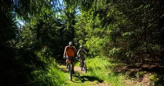
The route is particularly suitable for mountain bikes or electrically-assisted mountain bikes.
It mostly follows long-distance footpaths (GR4 and GR7).
Terrain: Pebbles - Hard surface (tar, cement, flooring) - Earth
Transporting luggage, bikes and people on the GTA VTT
La Malle Postale accompanies you on the 7 stages from Annonay to Bourg-Saint-Andéol and can transport your luggage and mountain bikes between Annonay and Bourg-Saint-Andéol.
Trains and stations to reach the GTA VTT
- Saint-Etienne: TER 17 bus line Saint-Etienne-Annonay (40km) with free bike parking
- St-Vallier-sur-Rhône: nearest train station is Annonay (23km)
TER line Lyon / Avignon with free bike space
- Pierrelatte: nearest station to Bourg-Saint-Andeol (6 km)
TER line Lyon / Avignon with free bicycle parking.
Routes linked to the Grande Traversée de l'Ardèche VTT
- Via Fluvia (common section from Annonay to “Les Seux” - Boulieu-lès-Annonay)
- Dolce Via (connection to Saint-Agrève)
- ViaRhôna (connection to Bourg-Saint-Andéol)
Your contact
Agence Développement Touristique de l'ArdèchePôle Bésignoles, 6 Rte des Mines, 07000 Privas
07000 Privas
Find this route on the Loopi mobile app
Scan the QR code, save it as a favorite, or start the guidance, just enjoy!
Scan the QR code, save it as a favorite, or start the guidance, just enjoy!
On the itinerary
This route is provided by: Agence de Développement Touristique de l'Ardèche
Be cautious and prepared during your outings. Loopi and the author of this sheet cannot be held responsible for any problems that occur on this route.


